|
|
Transportation/Energy Corridor Projects
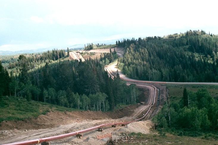
Questar ML 104 pipeline construction 2000, Skyline Drive, Manti - La Sal National Forest, Utah |
Earth Resource Assessment,
Mountain States Transmission Intertie Project - From 2007 to 2008. The
Mountain States Transmission Intertie (MSTI) project is planned for the
construction of a 500kv transmission line from west-central Montana to
south-central Idaho to provide power grid relief in this part of the country. Although straight-line distance between the
connecting substations is approximately 280 miles, nearly 990 miles of routing
comprising 31 segment alternatives were evaluated to fulfill environmental
planning requirements. Engineering geology
issues evaluated in this characterization included surficial geology, mass
movement potential, slope conditions, active faults, seismic zonation and
liquifaction potential. To individually
characterize these issues, each segment was mapped at “best-scales” using a GIS
to integrate vector, raster and digital elevation information across the two
state area. The GIS enabled the numeric
quantification of the geological issues thereby allowing the environmental
planners to compare and assess geologic and environmental impacts along the
route segments. |
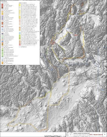
Mountain States Transmission Intertie Project, Montana and Idaho |
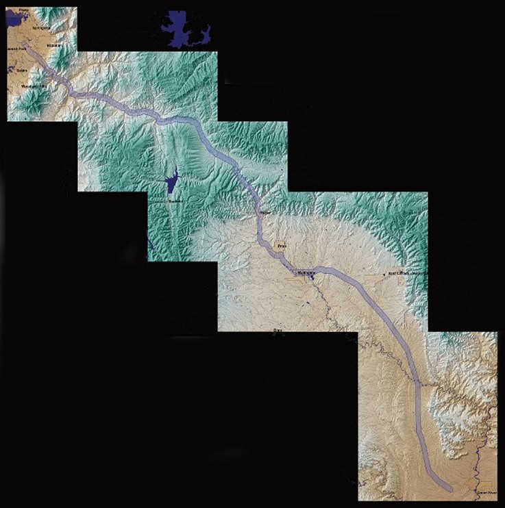
SR 6 Spanish Fork to Green River engineering geology studies for the environmental document, Utah, Wasatch, Carbon and Emery Counties, Utah |
Engineering Geology
Studies, Environmental Document In Support Of Proposed SR 6 Improvements;
Spanish Fork to Green River, Utah - Project Geologist, 2005. In
conjunction with geotechnical engineering and rock slope engineering studies,
The Incumbent conducted technical engineering geology studies and detailed
surficial geological mapping for support of environmental documentation being
prepared for existing highway improvements for an approximately 127-mile
segment of State Highway. Primary tasks included surficial geological mapping
of highway alignment, seismic hazard characterization, natural hazards
characterization, construction of geological issues on GIS for report
presentation and delivery. |
 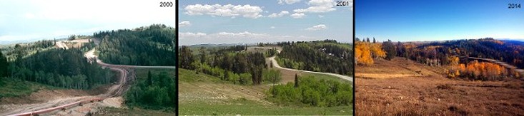
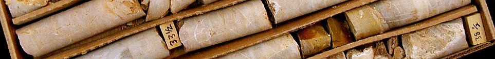
Questar ML 104 rehabilitation sequence 2000-2014, Skyline Drive, Manti - La Sal National Forest, Utah
|
Geological
and Geotechnical Support for FERC Environmental Resource Report, Proposed
Natural Gas Mainline, Questar Regulated Services; Carbon, Emery, Sanpete and
Utah Counties, Utah - Project Geologist 1999. Performed desk-top studies of geological and
geotechnical conditions for a proposed a 75.6-mile, 24-inch natural gas
pipeline from the Price Coal Bed Methane Project west of Price, Utah, to a
termination point at Elberta, Utah. The studies included seismic hazards, slope
stability hazards, surface fault rupture hazards, underground mine subsidence
hazards, liquefaction potential hazards, flooding and stream scour, and
collapsible soils hazards. |

Welded pipe, Kern River Pipeline construction, Chalk Creek, Summit County, Utah |
Geological
and Geotechnical Support for Kern River Natural Gas Pipeline, Wyoming, Utah, Nevada
and California - Staff Geologist 1989-1990. Performed desk-top and field studies of geological and
geotechnical conditions for a proposed 1,717
mile 36-inch natural gas
pipeline from the gas producing fields in Wyoming to
Bakersfield, California. The studies included seismic hazards, slope
stability hazards, surface fault rupture hazards.

Slinging pipe into ditch, Kern River Pipeline construction, Hardscrabble Canyon, Morgan County, Utah
|
|
|